Walk with Team A, exchange updates from separate tents, and meet descending Team B. Follow A’s encrypted records down to a cellular network and back to A’s ground contact in the city. Then record and review a trail run.
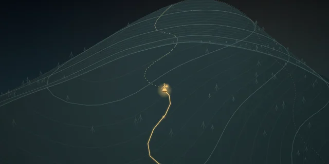
Dawn on the ridge. The contours turn a mountain into a landscape you can read.
Before setting out, Team A prepares offline maps and invitations. One A member stays in the city as its authorized ground contact.
One route. Several people. A shared journey begins.
00:16
02Bluetooth discovery
A team, within reach
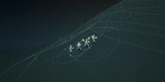
On the trail, Team A’s phones look for nearby teammates over Bluetooth.
The rings meet. “At the saddle. We’ll wait here.” An update passes from phone to phone.
A bend changes who is in reach. Nearby peers can relay; the mountain still shapes each link.
00:34
03Between teams
An encounter becomes a relay
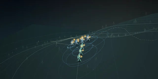
Team A meets Team B, who will head down the mountain.
With relay consent, B’s nearby phones can carry A’s encrypted records.
A will stay in the mountains. B can carry the records onward without reading their protected contents.
00:52
04Camp · Bluetooth
Separate tents. Still together.
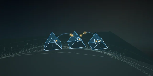
Team A stays in the mountains and settles into camp. Members settle inside separate tents.
With nearby phones in range, members use NTsocial to exchange messages from inside their tents.
“What time do we leave?” “06:00. Meet at the trail.” A question and reply cross the camp over Bluetooth.
01:06
05Carry · Cellular network
Bring the news home
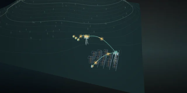
Team B descends with A’s encrypted records stored on its phones. Team A remains at camp.
Through the switchbacks, B carries the update toward ordinary mobile coverage.
With upload consent, B’s phone sends through a base station and the cellular network.
A’s ground-contact member in the city receives A’s records. Their teammates are still in the mountains.
01:30
06Trail recording
Every stride leaves a trace
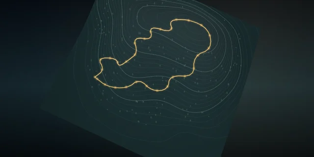
Now pick up the pace. The runner explicitly starts track recording and enables location.
Position after position, the run takes shape. Each point carries its own time.
Climb, traverse, descend. Stop and archive the track when the run is done.
01:52
07GPX · track review
Read the run
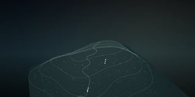
Export the GPX, or overlay tracks on the map to review the route.
In this illustrated analysis, distance, elevation and pace reveal the climbs and changes of rhythm.
A trail remembers the run. A network of people carries the news. NTsocial, beyond the ridge.
This film illustrates the hiking and track workflows documented in the Android guide. Terrain, radio footprints, journey timing and track statistics are simulated; the analysis graphic is an illustration, not an app screen. Prepare offline maps and team invitations before departure. Recording and sharing require an explicit start and location permission. Carrying another team’s encrypted data and uploading it when online require separate consent; carrying it does not grant access to its contents. Tent-to-tent communication needs nearby compatible, running phones and a reachable Bluetooth path. In this story, B uploads A’s records through ordinary cellular coverage and base stations to A’s authorized ground-contact member in the city; A’s hikers remain in the mountains. Saved locally, uploaded and read are different states. Device and background limits may interrupt recording or delivery; this is not a guaranteed rescue link. Read the hiking and track guide.


 00:00