A forest fire reaches the edge of a town. Firefighters, medical staff and supply teams bring their observations onto one shared map. See how NTsocial connects people, places and the next decision.
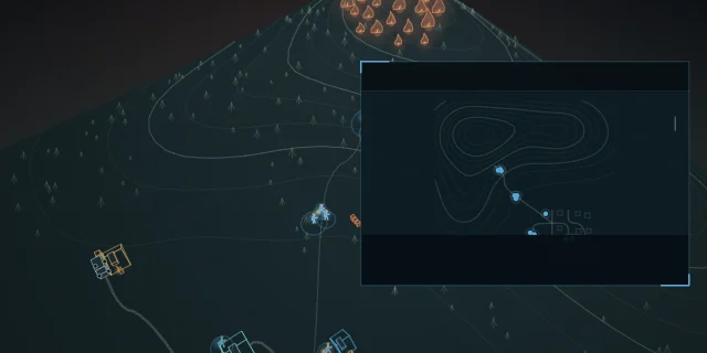
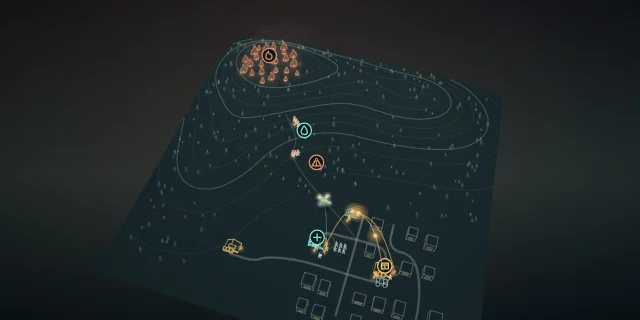
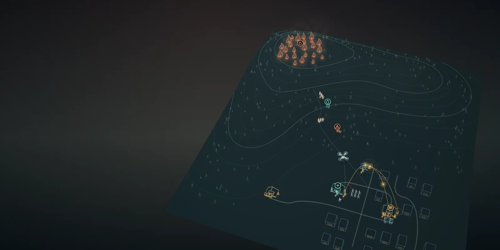
A forest fire spreads above a town. Firefighters work on the hillside; residents gather below.
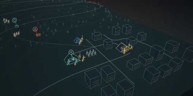
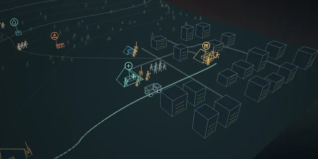
At the medical station and supply depot, each group sees a different part of the situation.
Who is where? What has been reported? What is needed next?
00:16
02ATaK · shared positions
Join the same picture
Authorized firefighters, medical staff, supply workers and resident liaisons join one NTsocial ATaK channel.
Members explicitly enable location sharing. Their GPS reports place people on the shared map.
Each update has a time. The team can distinguish a received position from a fresh observation.
00:34
03Create a map object
Put a place into words
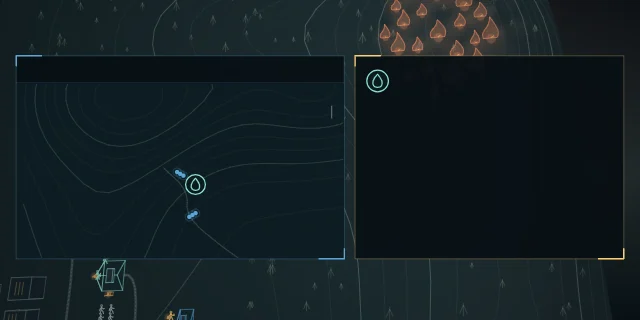
A firefighter finds a water source and long-presses its location on the map.
Add a name, a symbol and a description. The object keeps its own latitude and longitude.
Water sources, reported fire and hazards become places the whole team can identify.
00:54
04MeshLink · LoRa
One report reaches the team
The object carries its location and description into the team’s bound radio channel.
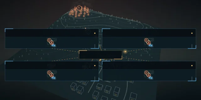
NTsocial MeshLink and compatible Meshtastic radios carry it across reachable LoRa links.
Other members’ maps show the same object at the same coordinates. One observation becomes a shared reference.
01:14
05Care · supplies · residents
The town joins the map
Medical staff mark their station. A resident liaison records a local need as a map object.
Supply workers add the distribution point and describe the drinking water available.
The same channel brings hillside reports, nearby people and town resources into view.
01:36
06Edit · transmit · receive
A quantity changes. People update it.
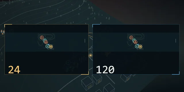
At the distribution point, a worker counts the remaining drinking water: 24 cases.
They edit the object description from “120 cases” to “24 cases” and share the update.
Other members receive the revised description over the linked radios. The stock report comes from a person.
01:58
07Human coordination
Turn the picture into action
The coordinator sees the medical station’s need, the supply report and the team’s reported positions.
They coordinate a water delivery through the channel. A supply team carries out the task.
People make the decision. NTsocial gives them a shared place to locate, explain and update it.
02:18
08Drone · store-carry-forward
Carry the news both ways
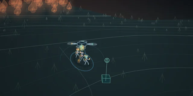
At the ground station, an operator mounts a phone running NTsocial on a drone. The phone already holds authorized team-channel notices.
The operator pilots it above the frontline and pauses within effective phone-link range. The stored notices travel with the phone.
Nearby phones sync eligible notices they have not yet received. Ground updates reach firefighters; authorized frontline reports are stored on the mounted phone.
Back near the town, the phone shares its stored reports with ground staff and resident liaisons in the same authorized channel.
02:54
09NTsocial
One map. A shared mission.
People, observations and resources meet on one map, with the latest received reports in view.
From staying in contact to getting things done together. NTsocial.
This fictional wildfire illustrates NTsocial’s ATaK map workflow. Terrain, coordinates, people, timings and interface panels are illustrative. Map-object synchronization in this film uses NTsocial MeshLink on Android with compatible Meshtastic radios on a bound radio channel; the amber links represent LoRa. Location sharing is explicitly enabled and has its own delivery settings. Access permissions, configured devices and reachable links are required; received positions and reports are not necessarily current. Supply quantities are manually entered object descriptions, not an automated inventory system. People assess reports and coordinate tasks. This product demonstration is not an emergency procedure or evidence of operational certification. The drone sequence illustrates a remotely piloted carrier with a running phone; NTsocial does not control flight. It carries authorized ordinary channel notices, not ATaK map objects over Bluetooth. Nearby phones need a usable link and sufficient contact to complete synchronization; the mounted phone stores received reports during flight and syncs again after returning. Read the ATaK map guide.

 00:00